
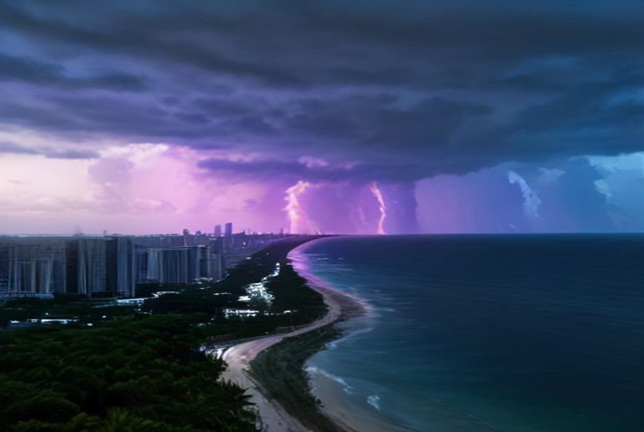

Miami residents heading into the final weekend of August can expect a familiar blend of summer heat, high humidity, and the ever-present possibility of afternoon thunderstorms as the calendar edges closer to September. The atmosphere over South Florida remains firmly in its warm-season pattern, with daytime temperatures climbing into the upper 80s to low 90s Fahrenheit and heat indices pushing well into the triple digits when the sun is at its strongest.
Typical of this point in the year, sea breezes developing along both the Atlantic coast and the Gulf side of the peninsula are expected to collide somewhere over the interior or western suburbs of Miami-Dade County during the afternoon. That collision zone often acts as a trigger for scattered showers and thunderstorms, some of which can be locally heavy. Lightning, brief gusty winds, and pockets of street flooding remain the most common hazards whenever these storms flare up over urban areas with limited drainage.
Forecasters monitoring the region note that tropical moisture continues to feed into the peninsula from the south, keeping rain chances elevated for much of the day. Morning hours are likely to start with partly sunny skies and a steady southeast breeze, with humidity levels making even early outdoor activity feel muggy. By midday, cumulus clouds are expected to build rapidly, and the first rumbles of thunder could arrive as early as early afternoon, persisting into the evening before gradually fading.
For those planning beach visits along Miami Beach, Key Biscayne, or further south toward Homestead, beach-goers should pay close attention to local flags and lifeguard instructions. While rip current risk along South Florida beaches typically fluctuates daily, August conditions frequently produce moderate to strong rip currents, particularly near piers, jetties, and sandbars. Swimmers are urged to swim only in guarded areas and to heed any advisories issued throughout the day.
Boaters and mariners operating in Biscayne Bay or the nearshore Atlantic waters should also remain alert. The National Weather Service routinely issues small craft advisories when winds pick up ahead of thunderstorms, and visibility can drop suddenly in heavy downpours. Even outside of official advisories, pop-up storms can produce wind shifts and rough conditions with little warning.
Inland residents across communities such as Hialeah, Kendall, and Homestead should be prepared for the possibility of localized flooding during the heaviest downpours. South Florida’s flat terrain and extensive impervious surfaces mean that even moderate rainfall rates can quickly overwhelm storm drains, leading to ponding on roadways. Drivers are reminded never to attempt to cross flooded streets, as the depth of standing water can be deceptive and vehicles can stall in surprisingly shallow water.
Air quality in the Miami metro area generally remains in the moderate range during late summer, though ozone levels can climb on the hottest, sunniest afternoons. Sensitive groups, including children, the elderly, and those with respiratory conditions, are encouraged to limit prolonged outdoor exertion during the peak heat of the day, typically between 1 p.m. and 5 p.m.
Looking beyond Sunday, the broader weather pattern across the southeastern United States shows little sign of breaking down in the near term. Long-range outlooks suggest that above-normal temperatures and near- to above-normal precipitation chances will continue across South Florida as the region transitions from the climatological peak of hurricane season toward the autumn months. September is historically the most active month for tropical cyclone development in the Atlantic basin, and residents are reminded to keep emergency supplies ready and to review hurricane preparedness plans even on quiet weather days.
For those seeking the latest updates, official forecasts from the National Weather Service’s Miami office, along with hourly data from local observation stations at Miami International Airport and Homestead Air Reserve Base, provide the most reliable short-term guidance. Mobile weather alerts, particularly those enabled for flash flood and severe thunderstorm warnings, can offer critical lead time when dangerous conditions develop with little notice.
Whether the day brings a brief, refreshing thunderstorm or a more sustained bout of rain, the message for Sunday in Miami is straightforward: stay hydrated, keep an eye on the sky, and be ready to adjust outdoor plans as conditions evolve. South Florida’s weather rewards those who respect its ability to change quickly, especially in the closing days of August.