
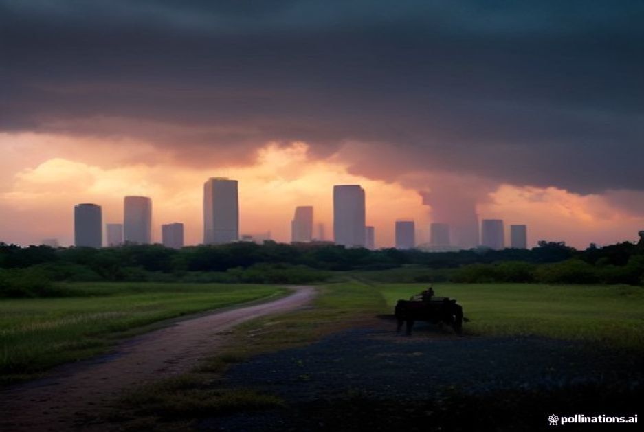

Houston residents woke up to sticky conditions on Friday morning as the city continued to sit beneath the grip of a late-summer heatwave that shows few signs of breaking before the weekend. The National Weather Service forecast highs climbing into the upper 80s near the Texas coast, with inland areas edging closer to 90 degrees under partly sunny skies.
Temperatures are expected to peak around 89 degrees downtown, while suburbs such as Sugar Land and The Woodlands could see readings top 91. The humidity, which has been the more oppressive element of the past week, remained high overnight, leaving the heat index feeling closer to triple digits during the early commute.
“We’re in that classic late-September pattern where the subtropical ridge is holding firm over the western Gulf,” explained a meteorologist with the Houston/Galveston office of the National Weather Service, who requested anonymity because she was not authorized to speak publicly. “Until that high-pressure system shifts or a strong cold front pushes through, we’re going to keep seeing these muggy days with isolated afternoon storms.”
The same pattern has dominated the region for nearly two weeks, bringing daily rounds of pop-up thunderstorms that offer little relief from the heat but occasionally dump significant rainfall in localized areas. On Thursday evening, parts of southwest Houston received more than two inches of rain in under an hour, prompting flash-flood advisories along portions of the Southwest Freeway.
City officials reminded residents that Houston’s drainage infrastructure, still recovering from Hurricane Harvey’s damage nine years ago, remains vulnerable to sudden downpours. “We continue to urge drivers to avoid low-water crossings during heavy rain events,” said a spokesperson for the Houston Public Works Department. “Even six inches of moving water can sweep away a vehicle.”
The city’s emergency management office also issued a routine advisory encouraging residents, particularly the elderly and those without air conditioning, to take precautions during the heat stretch. Cooling centers at several libraries and community centers remained open through the weekend, though officials noted that demand has been lower than during the peak summer months.
Power grid operators reported that electricity demand had surged to near-capacity levels during the previous day’s late-afternoon spike, with temperatures and air conditioning usage combining to strain the regional grid. The Electric Reliability Council of Texas (ERCOT) listed no major outages but cautioned that any unexpected equipment failures could coincide with peak usage hours.
Beyond the urban core, farmers and ranchers across the surrounding counties are monitoring soil moisture levels closely. The combination of heat and sporadic rainfall has created ideal conditions for certain crops while stressing others. Cotton producers in the Brazos Valley reported promising yields, though some corn fields showed signs of heat stress during the tasseling phase.
Transportation officials noted that the extreme heat has taken a toll on road surfaces, with several sections of the Sam Houston Tollway showing signs of buckling. Maintenance crews worked overnight to patch affected areas before rush-hour traffic returned on Friday morning.
The weekend outlook remains largely unchanged, with forecasters predicting more of the same: warm, humid days capped by brief but intense thunderstorms. Coastal waters in Galveston Bay hovered around 82 degrees, contributing to the overall mugginess that has settled over the region like a heavy blanket.
Meteorologists say the pattern may begin to shift early next week as a weak trough moves across the central plains, potentially ushering in slightly cooler air and more consistent rainfall. Until then, Houstonians can expect to sweat through another weekend of lingering summer heat, punctuated by the sudden relief of passing storms that offer more ambiance than actual cooling.
For now, the forecast calls for scattered thunderstorms after 3 p.m. each day, with individual cells capable of producing gusty winds and brief heavy rain. Residents are advised to keep an eye on local alerts and to have alternate routes planned for afternoon commutes.
The heatwave, while uncomfortable, is not historically unusual for Houston in mid-September. Long-term climate records show that temperatures this time of year typically range from the mid-70s at night to the upper 80s during the day. This year’s persistent warmth simply extends what would normally be a brief transition period into October.
With schools back in session and outdoor sports leagues resuming their fall schedules, parents and coaches are adjusting practices and games to accommodate the lingering heat. The Houston Independent School District confirmed that outdoor activities will be limited during peak heat hours, and drinking fountains at athletic fields have been turned back on after being shut off during the previous week’s extreme temperatures.
Looking ahead, the Climate Prediction Center’s monthly outlook suggests that above-normal temperatures will likely persist across much of Texas through the end of September, keeping the heat dome firmly in place over the southern United States. For Houston residents, that means more sticky days ahead before the first real taste of autumn arrives.