
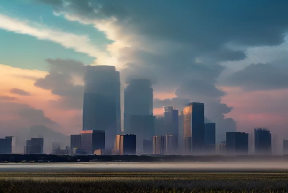

Houston residents are once again facing the relentless Texas summer as meteorologists release the latest weather outlook for Thursday, August 6. The forecast paints a familiar picture of intense heat, high humidity, and the ever-present possibility of afternoon thunderstorms that characterize the Gulf Coast region during the peak of summer.
According to the latest meteorological data, temperatures in the Houston metropolitan area are expected to soar into the upper 90s Fahrenheit during the afternoon hours, with heat index values potentially climbing well above 100 degrees. The combination of scorching temperatures and muggy humidity created by the proximity to the Gulf of Mexico will make outdoor activities uncomfortable and potentially dangerous for vulnerable populations, including the elderly, young children, and those with pre-existing health conditions.
The National Weather Service has historically emphasized the seriousness of heat-related illness during this time of year, and this week is no exception. Houston has already experienced multiple days of triple-digit heat indices throughout the summer, and the pattern shows little sign of relenting. Heat advisories remain a real possibility if temperatures and humidity levels continue on their current trajectory.
Beyond the heat, the forecast also suggests scattered thunderstorms developing in the afternoon and evening hours. The Gulf Coast region’s summer weather pattern frequently brings convective activity triggered by the intense surface heating and moisture from the Gulf. These storms can produce heavy rainfall, gusty winds, and frequent lightning, creating hazardous conditions for commuters and outdoor workers during the evening rush hour.
Meteorologists note that while individual thunderstorms may be localized, the coverage across the Houston area can vary significantly from one neighborhood to the next. Some communities may see little more than a brief cooling shower, while others could experience more sustained rainfall and stronger wind gusts. This patchy nature of summer convective storms makes precise forecasting challenging, even for experienced weather professionals.
The broader weather pattern driving conditions in Houston this week is consistent with the climatological norms for early August in Southeast Texas. The region remains under the influence of a subtropical ridge that has dominated the weather across much of the southern United States, suppressing large-scale storm systems while allowing surface heating to build each day. This setup has been a recurring theme throughout the summer months and shows no immediate signs of changing.
For residents planning outdoor activities, weather experts recommend taking advantage of the cooler morning hours and limiting exposure during the peak heat of the afternoon. Staying hydrated, wearing light-colored and loose-fitting clothing, and taking frequent breaks in air-conditioned environments are all standard safety precautions that local emergency management agencies consistently urge during periods of extreme heat.
The city of Houston and surrounding municipalities have activated various heat response protocols during the summer season, including opening cooling centers in public facilities and coordinating with nonprofit organizations to reach unhoused populations who are particularly at risk during prolonged heat waves. Local officials remind residents that heat is one of the most overlooked weather-related hazards, claiming more lives annually in the United States than hurricanes, tornadoes, and floods combined.
Looking ahead, long-range forecast models suggest that the current summer pattern may persist for at least another week, with little relief from the heat expected in the immediate future. While a cold front or tropical system could potentially break up the pattern later in the month, no such development is currently anticipated in the near term.
As Houston continues to grapple with the effects of a warming climate that has intensified the frequency and severity of summer heat events, city planners and public health officials are increasingly focused on long-term adaptation strategies. From expanding urban tree canopy coverage to improving the energy efficiency of public buildings, efforts to mitigate the urban heat island effect remain a priority for local government and community organizations alike.
For now, Houstonians can expect another day of oppressive heat and the daily ritual of seeking shade and air conditioning as the sun climbs through the late-summer sky. The forecast for Thursday serves as a reminder that the Texas summer is far from over, and residents should continue to take necessary precautions to stay safe and comfortable until cooler weather finally arrives in the coming months.